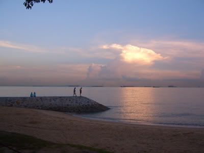
This cycling expedition is made with Friend Poh(FP) whom I have met since JC days. We decided on the route to take in the morning. I have not been feeling well the few days but I still insist on going on with it. The National Parks board website has lots of detail information on the cycling route to take as recommended by FP. These series of cycling tracks are called the Eastern Coastal Park Connector Network (PCN). You can check out the National Parks website for more information if you also wish to try it out. But let it be warn that this cycling route is not suitable for those who have not exercised regularly.
The total cycling distance is around the same distance as a marathon: 42km (31km of PCN + 1km of Bedok Reservoir + 1km of Pasir Ris Park + 4km of Changi Beach + 5km of East Coast Park).
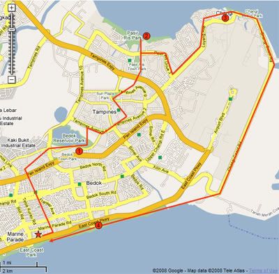
Here is the cycling map. The star is where I live and also our starting point. The red circles with number in it are our major resting point.
1. Bedok Reservoir (5mins rest)
2. Pasir Ris Park (1hour rest)
3. Changi Village (15mins rest)
4. East Coast Hawker Centre (1hour rest)
The total journey time is 7 hours (including the resting periods).
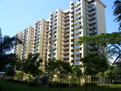
We rendezvous at my house which is just next to East Coast Marine Cove underpass at 12pm.
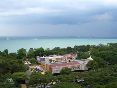
Here is the weather for the day. It looks like it is going to rain anytime soon. We forgot to check the weather forecast for the day. It is only 1 hour before our rendezvous that I remembered about it. The forecast is Heavy showers with thunders expected in the afternoon. Oh no!! Anyway, we will still proceed on and will hole up and take a break if it were to rain.
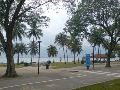
We had lunch at Marine Cove; an indian vegetarian fast food restaurant there. As FP cycled here from his home, I had to rent a bicycle from one of the rental shops in this area. The going rate for weekend is $6 for 2 hours. As I am renting it for longer hours, I said I will return it by 8pm, thus they charge me $15 from 12.45pm till 8pm. We left East Coast park once we have made all the necessary preparations. Here is a scene from East Coast park just before we go on to the first connector - Siglap Park Connector. We went up the overhead bridge just next to VJC and went along the cycling track.
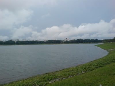
After 10 over minutes, we arrived at Kembangan MRT. We proceeded up till we arrived at the PIE. There are bicycle friendly bridges spanning the ECP and PIE. As law-abiding citizens, we pushed our bicycles up and down the bridges. From here on, we were slightly confused by the RCN direction signs and went out of the normal route. Nevertheless we were able to find our coordinates rapidly. FP has a GPS with him and I have my hp maps with me. We reached our first stop, the Bedok Reservoir at 2.15pm. The scene is really quiet and beautiful at this time of the day. I always love the scenery before it rains. Too bad my handphone camera can't take remarkable photos as my camera.
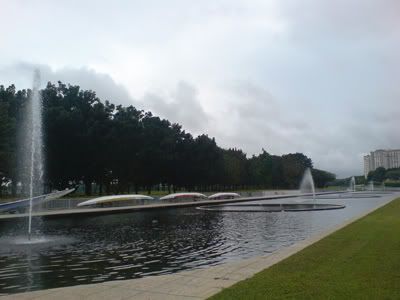
We went to the other end of Bedok Reservoir and took an exit at the edge. Think this time round we also went off track and appear at Temasek Polytechnic instead. It is my first time here and it has some beautiful fountains there. We cycled through Temasek Poly and to their main entrance where we resume our Tampines Cycling route.
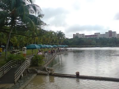
Along Tampines, we arrived at Tampines Mall and Tampines MRT where we made a turn to the Sun Plaza Park further to the north. From there it is all the way to Pasir Ris. We came upon this Fishing Pond while at Pasir Ris. It is also around this time when it starts to drizzle.
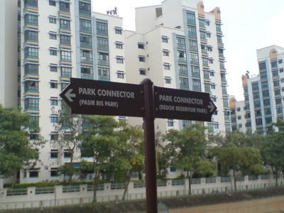
We decided to head further north and not be affected by the drizzle. The PCN has lots of cyclist friendly signs. Here is one of them. Other than the previous two times where we left our track, from here on we stayed with it closely.
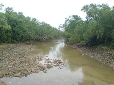
Here is a typical mangrove swamp in Pasir Ris just before Pasir Ris park. Just when we arrived at Pasir Ris park, it started raining heavily. It is 3pm when we arrived there. We took refuge at the toilet shelter there with a few others. As this is a moderate rainfall instead of heavy rain, it took around an hour before we left the shelter.
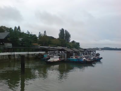
At 4pm, we departed from Pasir Ris park and made our way to Changi Village via the PCN. The route from Pasir Ris to Loyang is quite tough as it has a gradual uphill slope for several hundred metres. There is nothing much in sight at this area. Once we arrived at Changi, we were greeted by the colonial houses that still dotted the hills there. Here is the bumboat terminal which links to Pulau Ubin. We stopped at the Changi Village hawker centre for a drink before proceeding on to Changi Beach.
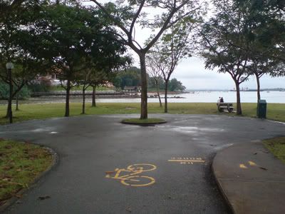
Here is one end of Changi Beach. Printed on the ground is 0m/3300m which is the entire span of Changi Beach. At the other end is the Coast Park Connector.
The Coaster Park Connector is the longest stretch in the entire journey around 8km long. There ain't much people at this stretch of the road. There are only a couple of roller bladers with a few military people jogging along there. From here we can see the planes taking off and landing at regularly intervals. I am quite amazed by the sound of the planes taking off and landing. Most of the time I am in the plane but it is actually extremely noisy if you are by the side.
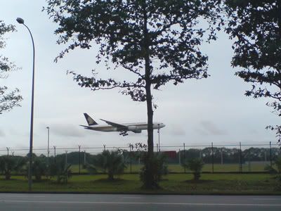
We proceeded southwards and what a relief when we finally arrived at East Coast Park. From there after several kilometres of cycling, we arrived at the Bedok-East Coast hawker centre. We arrived there at 6.30pm and it is here where we break for an hour. We got a couple of satay, Fried Hokkien Mee and Char Kway Teow.
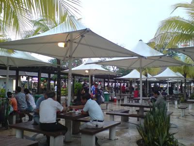
It is finally night fall when we made our way back to the bicycle rental area at 7.45pm. FP is much fitter than I am. I can barely walk after I got down from the bicycle and my whole body is really aching. But being able to complete this 42km route is really quite satisfying. I will recommend this cycling route for those who would like to explore Singapore to the east. But just ensure you are physically fit for this journey.
