This time round I have to base the route entirely on memory. The cycling trip is at the request of DK and WG. They have asked me about it many months now and July is the final month I have to put it into place. So here we go~
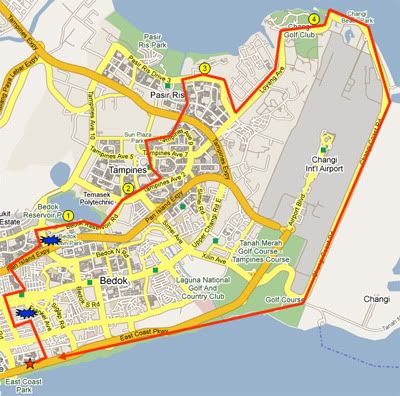
We rendezvous at East Coast Macdonalds at 1.30pm. A quick overview of the 42km cycling route we have taken. The yellow circle numbers are the pitstops we made. The blue 'explosive symbols' are disruptions from the normal recommended route. The first took place at Telok Kurau just after we left East Coast. The PCN at that area is under maintenance, as such we have to make a big 'C' route to the left, up and right towards Kembangan MRT station. The second disruptions is at Bedok. This is also the place where we got lost the last time. This area has a pedestrian bridge which the map recommend us to cross. But it is not bicycle friendly, so we took any route upwards instead.
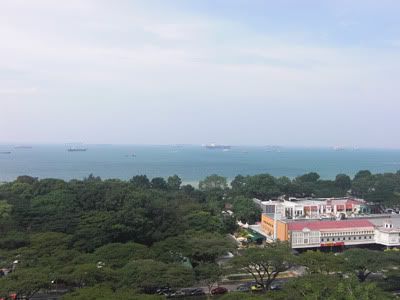
A quick weather check at 12noon. The weather is good. According to the Met station, there will be showers over many areas in the late afternoon. So I'm keeping my fingers cross for the late afternoon.
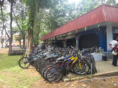
We rented the bicycles direct from the first bicycle shop past the underpass. It is 1.30pm, we told the staff that we would like to rent till 8.30pm. They offer us $18 for 7 hours. And gave us an additional 15mins allowance. So here we go!
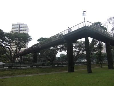
The first bridge came to sight after a short cycling. We have to travel over the ECP (East Coast Parkway). For all the bridges, we pushed our bicycles upwards and downwards.
We arrived at the Siglap PCN. It is a quiet and cloudy day. This is actually perfect for cycling as we won't be scorched by the afternoon sun.
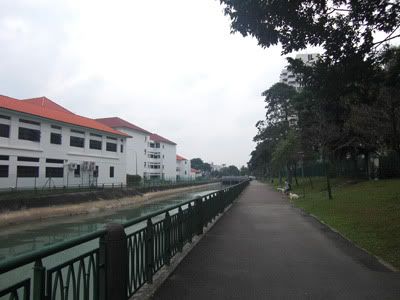
Once we arrived at the Telok Kurau area, there were some disruptions to our cycling route. The PCN in that area is closed for maintenance. As such we have to cycle towards Telok Kurau road and on towards Changi road. It is a relief when we saw Kembangan station as we are back to the PCN link again.
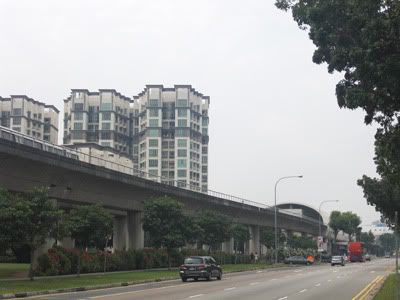
Here we are taking a group photo against a mirror.
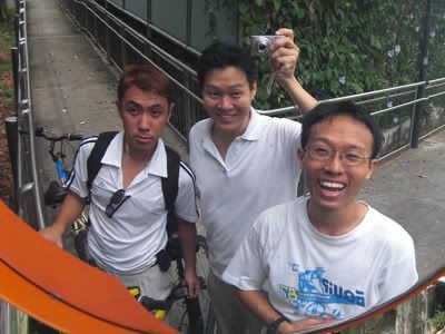
The second expressway we have to scale before we arrive at Bedok, the Pan-Island Expressway (PIE).
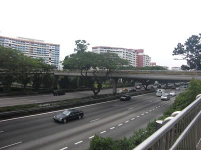
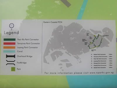
As compared to last year, this time round there are many maps at the PCN. This is the confusing leg of the journey where we venture to somewhere else the last time. The recommend PCN route tell us to cross the bridge, but the bridge is only crossable by pedestrians and it is not bicycle friendly. We travelled upwards towards Bedok reservoir instead of crossing the bridge.
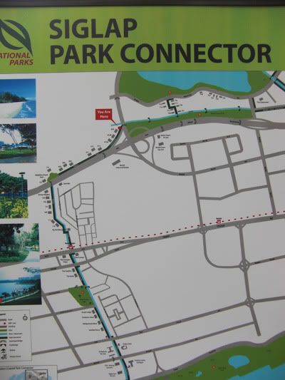
We arrived at Bedok Reservoir one hour into our journey at 2.45pm. We took a short break here, enjoying the peace and tranquility of the reservoir. (Pitstop 1)
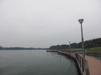
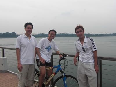
And also a group photo.
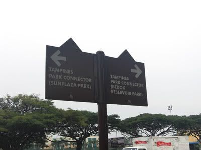
Besides maps, there are also many signs along the way, like the one below.
Once we arrived at Tampines, we stopped briefly at a convenience store to buy drinks (Pitstop 2)
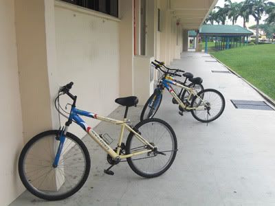
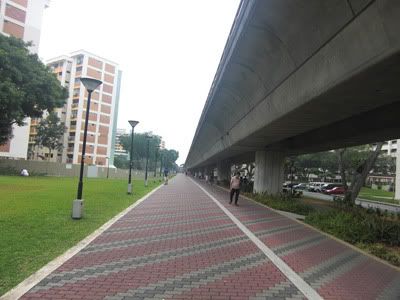
And we are back on our journey, travelling beneath the MRT Track.
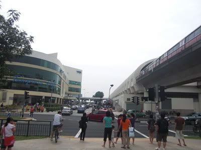
Towards Tampines Mall. This place is crowded, but we made a turn towards Sun Plaza Park instead of heading towards the shopping malls.
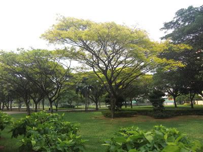
A yellow-flame tree in the Sun Plaza Park.
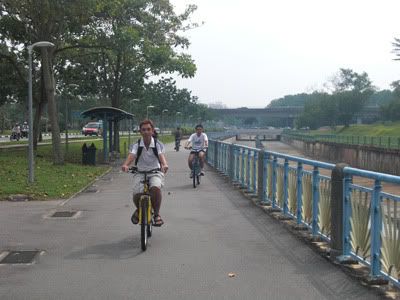
Here are DK and WG cycling.
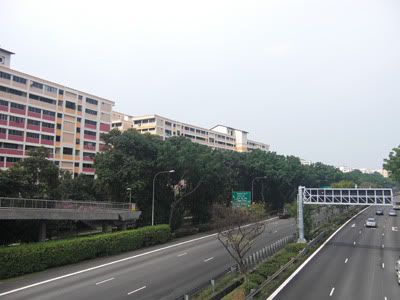
The last expressway we have to scale along the journey, the Tampines Expressway (TPE).
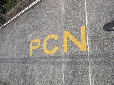
There are these yellow and white writings of the PCN along the tracks.
And we arrived at Pasir Ris town. The parks here are very quiet and beautiful.
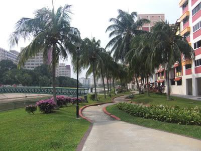
We cycled along the canal towards Downtown East. We made a 1 hour stop at Downtown East as there is a Cosplay Event going on there (Pitstop 3). Please refer to the entry on the Cosplay Event.
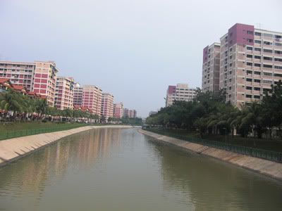
We left Pasir Ris at 4.30pm and resumed our journey towards Changi. Here is a peek into the entire cycling route and their journey.
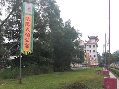
While cycling along Loyang, we came upon the famous Tua Bek Kong temple.
After cycling past the old colonial buildings and army camps, we came upon the Changi resorts. An accident happen here and one of our buddies got a slight injury. We immediately cycle to Changi Village which is 1 minute away and bought some first aid kit. As I have some experience in treating external injuries, I performed first aid on the buddy at Changi Village hawker centre. (Pitstop 4)
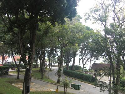
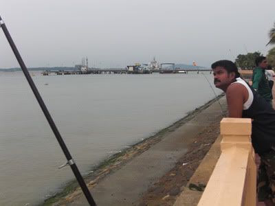
We had our dinner at Changi Village, it is around 6pm. We left at 6.30pm and walked along Changi Beach which oversees the Changi Ferry.
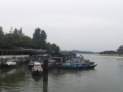
Changi Beach is a much quieter beach compared to East Coast Park.
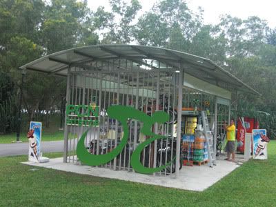
I read there are several PCN Pitstop along the way. This is one of them.
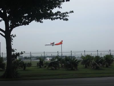
Cycling along the Changi Airport's 8km cycling route will give cyclist the chance to observe planes taking off and landing.
It is around 7.15pm when we arrived at the end of the route. We are turning into East Coast Park next.
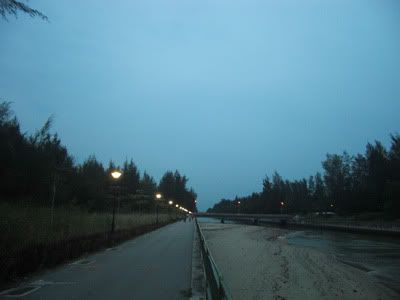
The waters of East Coast Park.
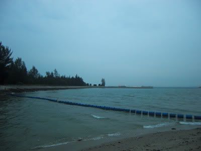
With trees gently swaying by the side.
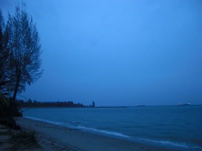
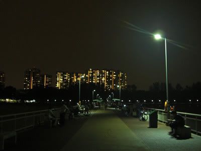
This is the newly opened Bedok Jetty. I have not been here since it is opened. It looks fabulous.
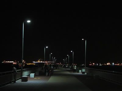
Bedok Jetty never fail to amaze me. It charm is still present.
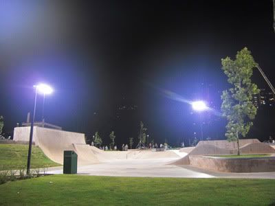
The new skate-boarding park next to East Coast Hawker Centre.
We got back to the bicycle rental shop at 8.15pm. Thereafter we went for supper and chill out for the day. Thankfully, it did not rain today and the sun is not scorching hot. We are physically tired, but we can still walk around without intense muscle ache.